Key Takeaways
- Google Earth offers historical imagery, while NASA Worldview provides live satellite views and timelapse videos.
- USGS provides real-time data on earthquakes, volcanoes, and other natural disasters on a global scale.
- Various platforms like Esri Landsat Explorer offer unique mapping features to explore locations with detailed information.
Learning as much as we can about the Earth is beneficial to everyone. Understanding how our actions can affect the world around us is vital to helping preserve the planet. Not only can you learn a lot about geography from looking at a map, but it also will help you understand more about the world itself. But not every map is going to just show you where to locate Connecticut.
There are hundreds of thousands of data sets, satellite views, and maps of the world. Google Earth is arguably the most famous application that highlights the world and what each location looks like. WIth the amount of footage that Google has collected in order to make Google Earth the best it can be, it’s no wonder why it is the top search option.
But all that you’re looking for is not going to be found on Google Earth. Sure, you’ll be able to see a 3D view of a street corner. But will it give you census information? Can it tell you where the nearest volcanic eruption took place? No, it can’t. That’s why we’ve collected a list of free maps, satellite views, and data sets to help you understand more about the world around you.
I tested Google Maps, Apple Maps, and Waze to see which app is really better
With three apps sitting as the dominant forces in navigation, it’s only natural to wonder which one is worth downloading and using to get from A to B.
1 NASA Worldview
Check out what Earth looks like from space
Pocket-lint
NASA Worldview
Offers live views and time-lapse videos from space, updating users with recent weather events and environmental changes for free.
Google Earth is not a live view of the Earth. It has collected data over years to show us what many parts of the world have looked like. But it doesn’t provide you with a live look at the world. NASA Worldview does and will show you over 800 layers of satellite imagery, many of which is as current as a few hours ago. It can show you when and where major weather events have taken place recently and display timelapse videos of areas throughout the globe.
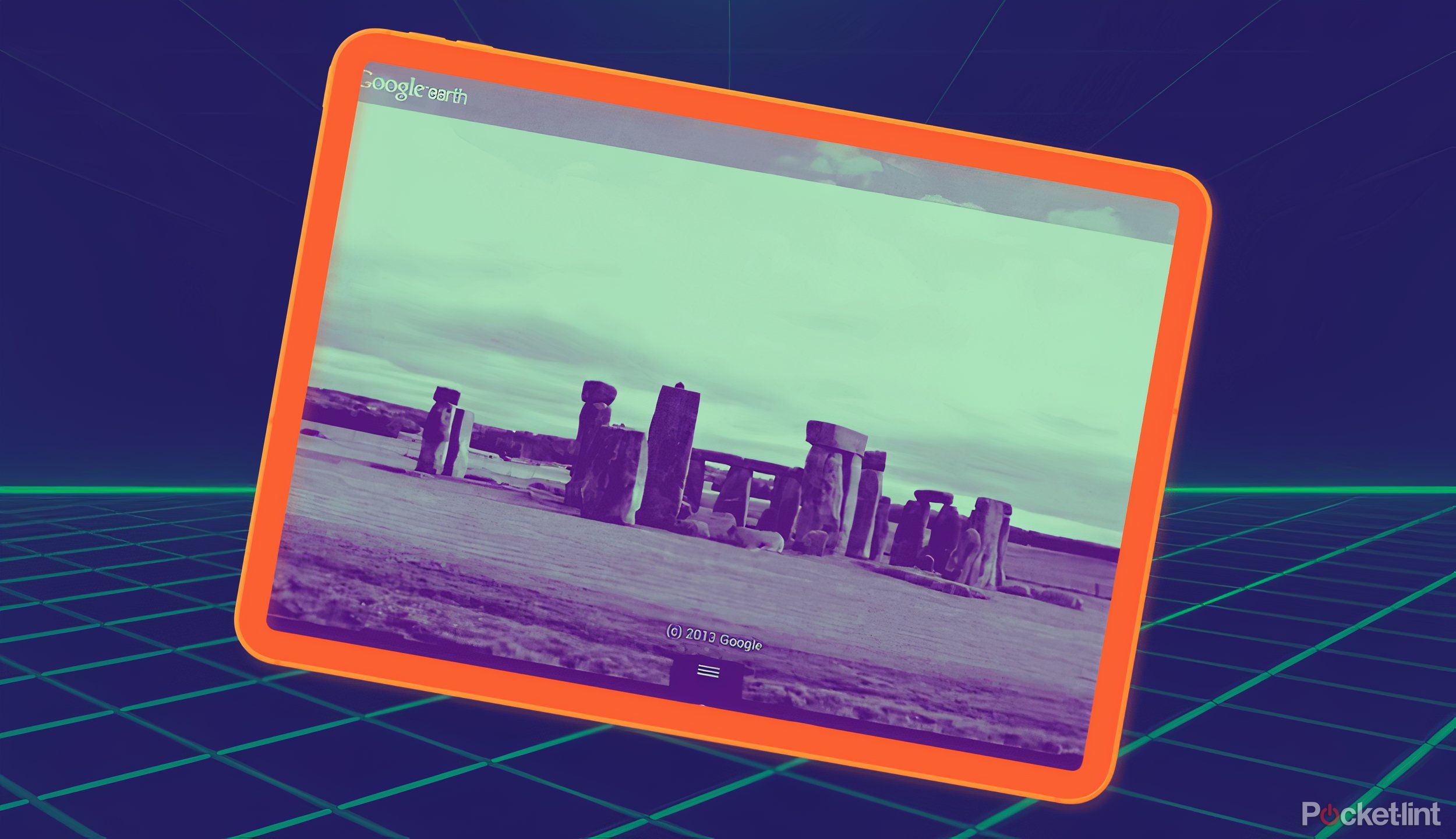
5 hidden Google Earth features you probably haven’t tried
There are a ton of fun things you can do with Google Earth. It has several hidden features, honestly, but I’ve dug up five for you to try.
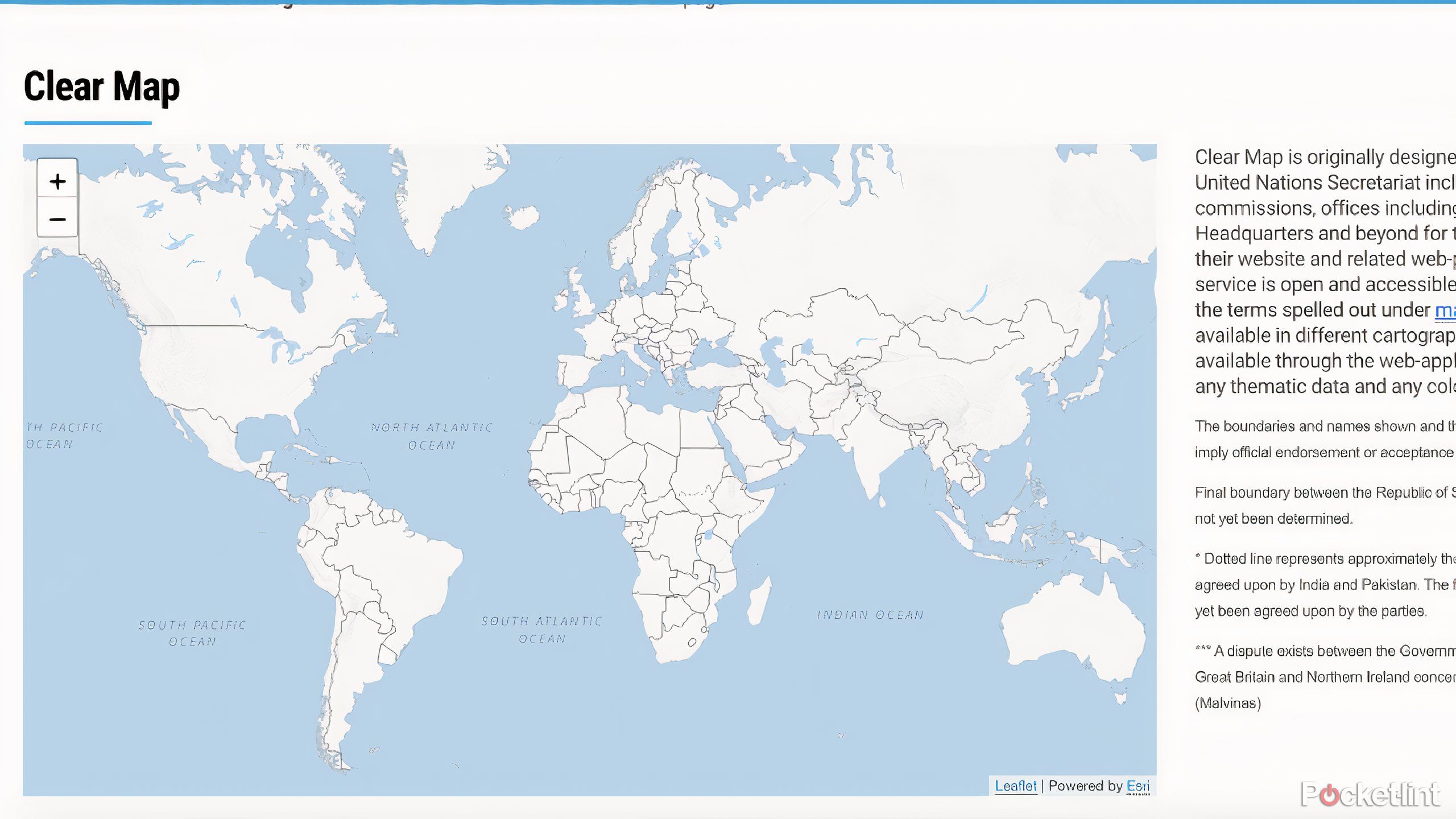
2 United Nations Clear Map
See exact borders of countries
Pocket-lint
United Nations Clear Map
Offers detailed, free maps with defined country borders and regions, ideal for educational use.
As one would expect, the United Nations has a good handle on global issues. That’s why you can find multiple versions of world maps on their website. The Clear Map and the Carto Tile are services used by the United Nations offer clearly defined countries and territories for educational use. Users can zoom in and out to see each country individually as well as the regions they are located.

Weird and wonderful views captured via Google Earth
The world is a wonderful place and with Google Earth you can almost travel the entire globe in the blink of an eye. Here are some of the sights you can see.
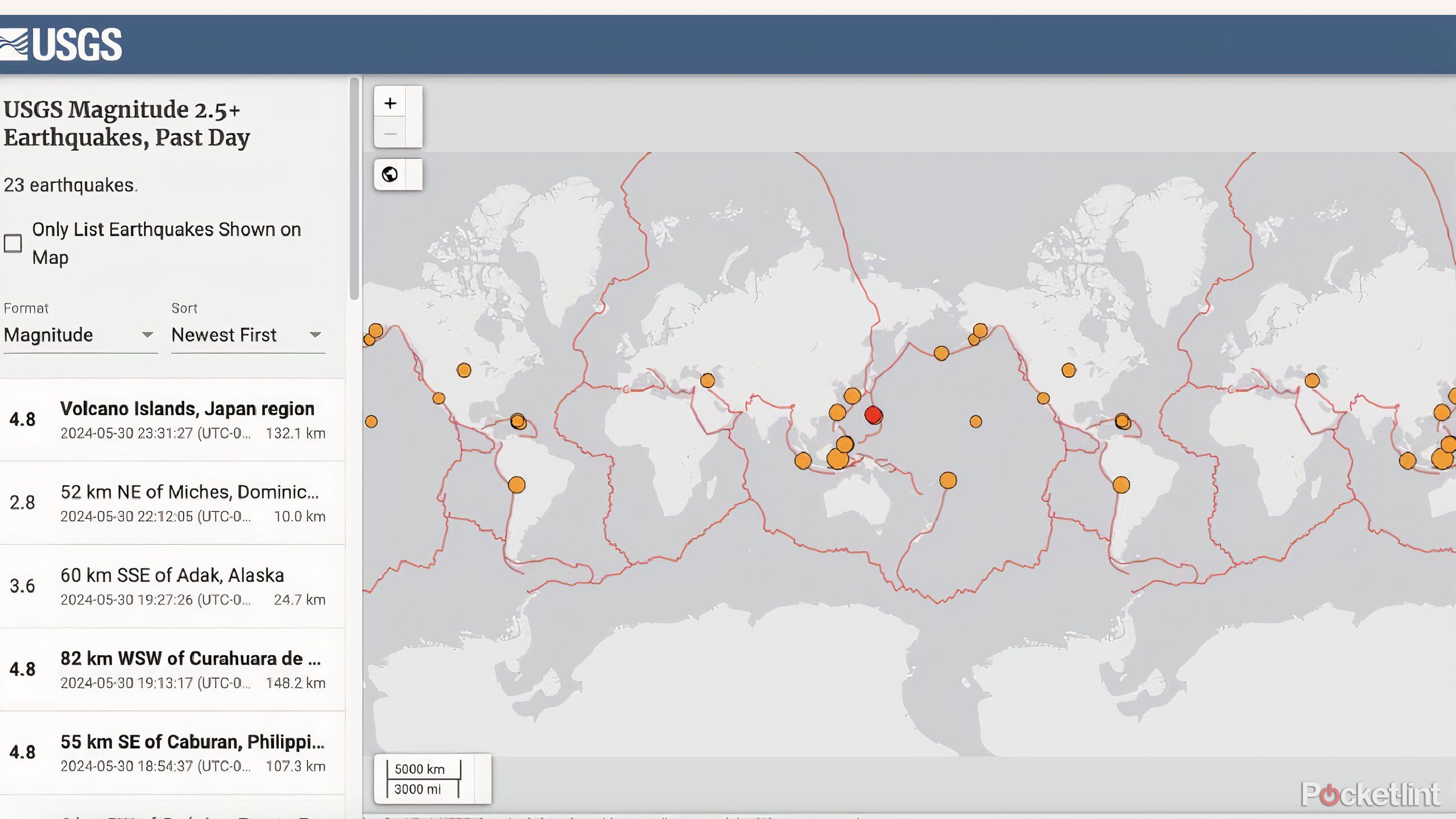
3 USGS
Find out where the latest earthquake was
Pocket-lint
USGS
Provides real-time monitoring of earthquakes and volcanoes globally.
The United States Geological Survey (USGS) goes through rigorous standards and procedures to bring you the most up-to-date information when it comes to earthquakes and other worldwide catastrophes. The interactive maps show earthquakes, volcanoes, floods, wildland fire, landslides, and droughts. This can provide valuable information on a global scale.

4 Google Maps alternatives you’ll wish you tried sooner
If Google Maps isn’t for you, the good news is there are several other navigation apps you can give a spin.
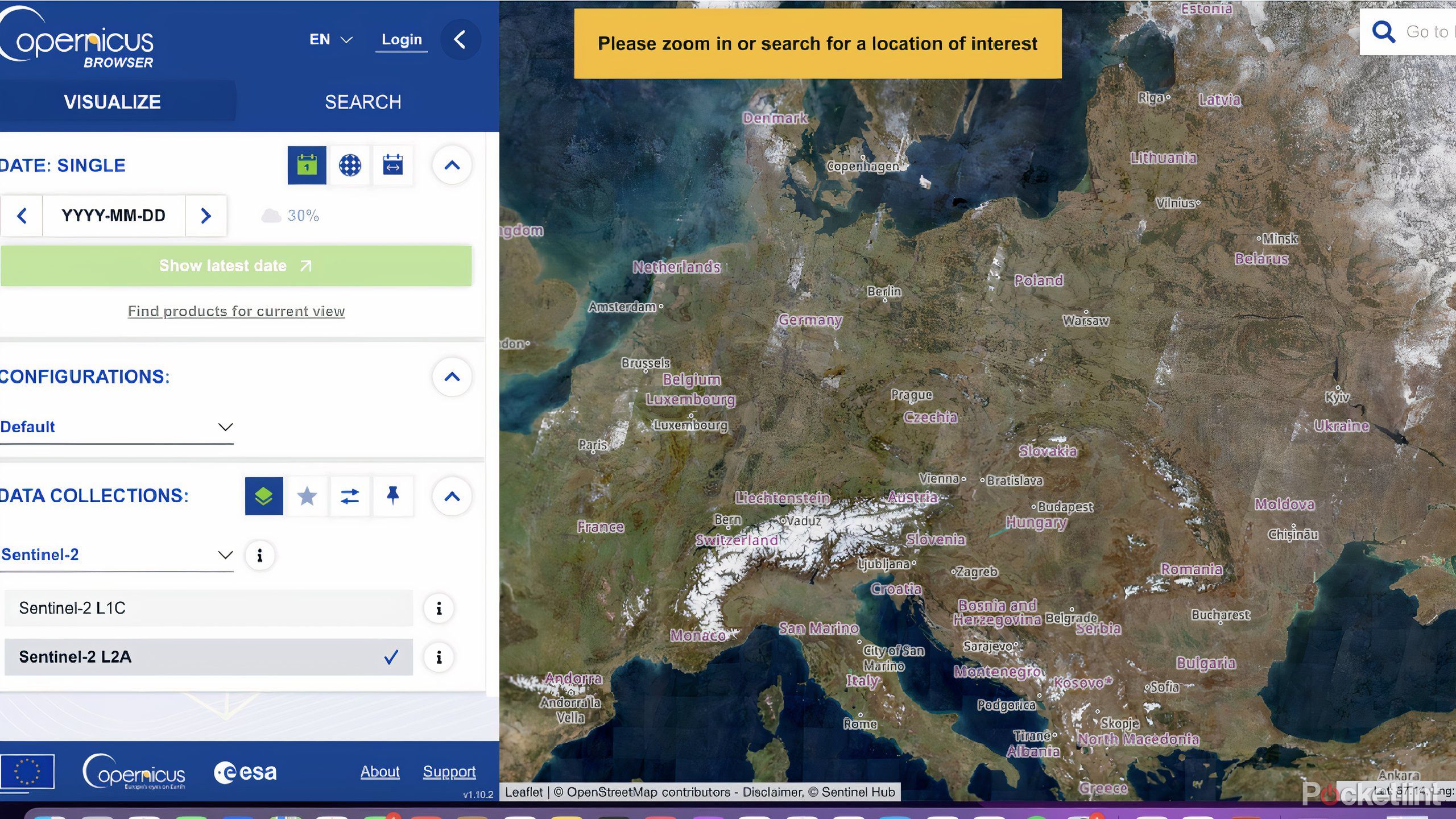
4 Sentinel
Check out the Copernicus Browser
Pocket-lint
Sentinel
Allows free, specific satellite views of Earth changes over time.
The Sentinel Earth observation satellites were launched by the European Space Agency in 2015. These satellites are a part of the Copernicus program and the Copernicus Browser allows you to see what a region of the world looked like through the eyes of the Sentinel satellites. You can select a specific day and time and choose the view that you are looking for, with multiple layer options to choose from.
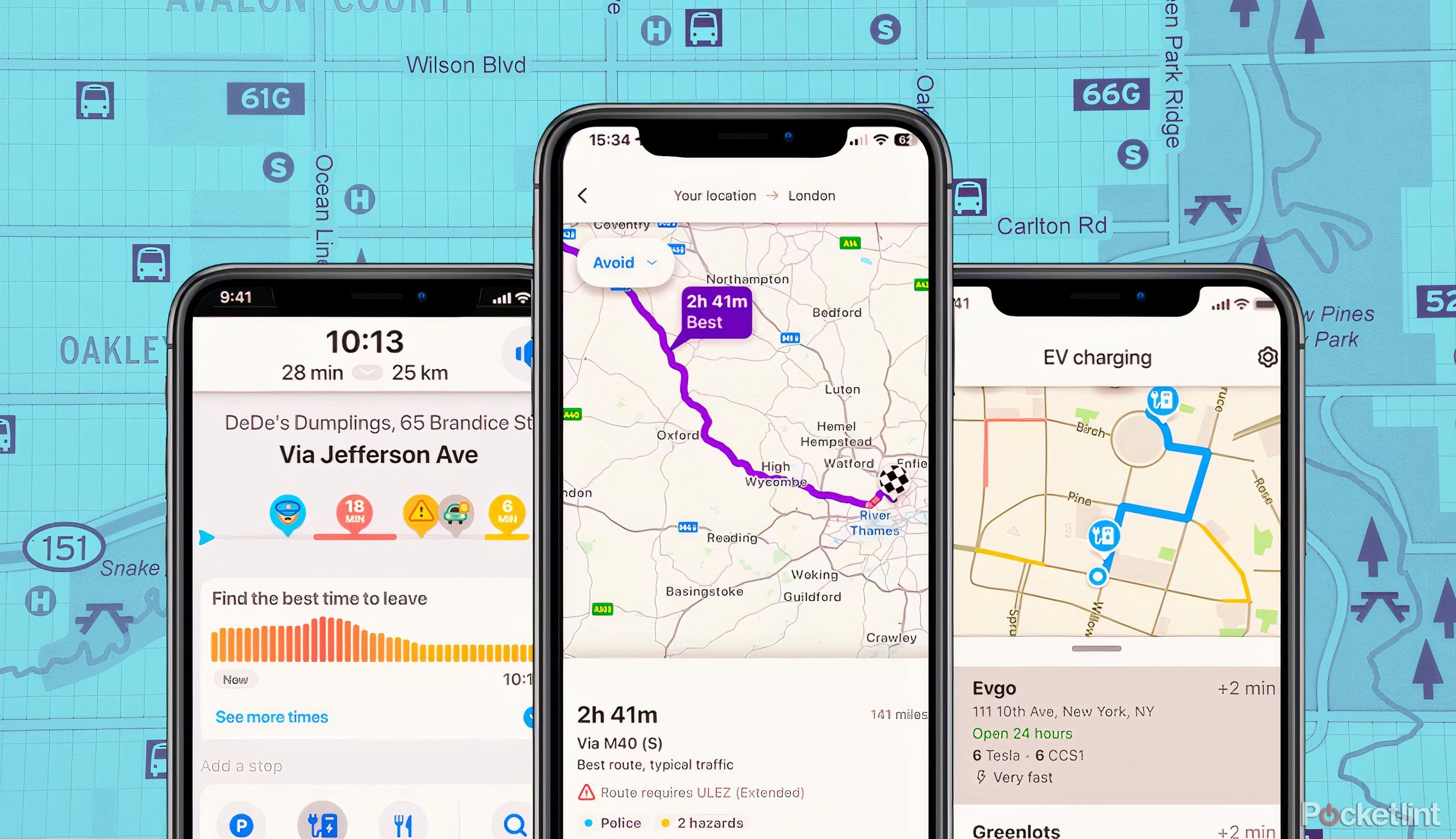
5 reasons why I use Waze instead of Google Maps
Google has two free navigation apps: Waze and Google Maps. Here’s why, after all these years, I still use Waze over Google Maps.
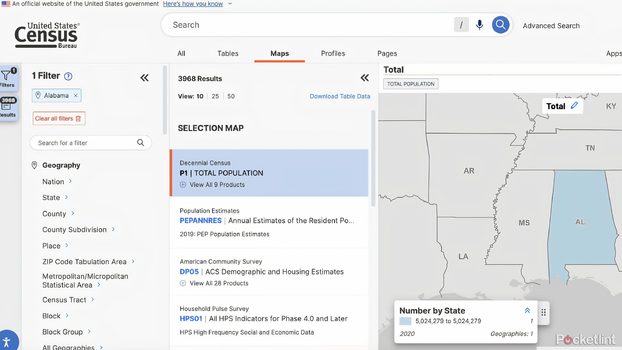
5 U.S. Census
Check out an interactive map of the country
Pocket-lint
U.S. Census
Delivers a detailed, free map based on the latest U.S. demographics, offering socio-economic data not found on Google Earth.
Based on the U.S. Census from 2020, you’re able to get a better view of the United States by understanding its population. Compare states and their stats on a variety of different levels, including country governments by population size of state, how many grandparents by race are in a certain state, and more. This is a wealth of knowledge and is entirely free to look through.
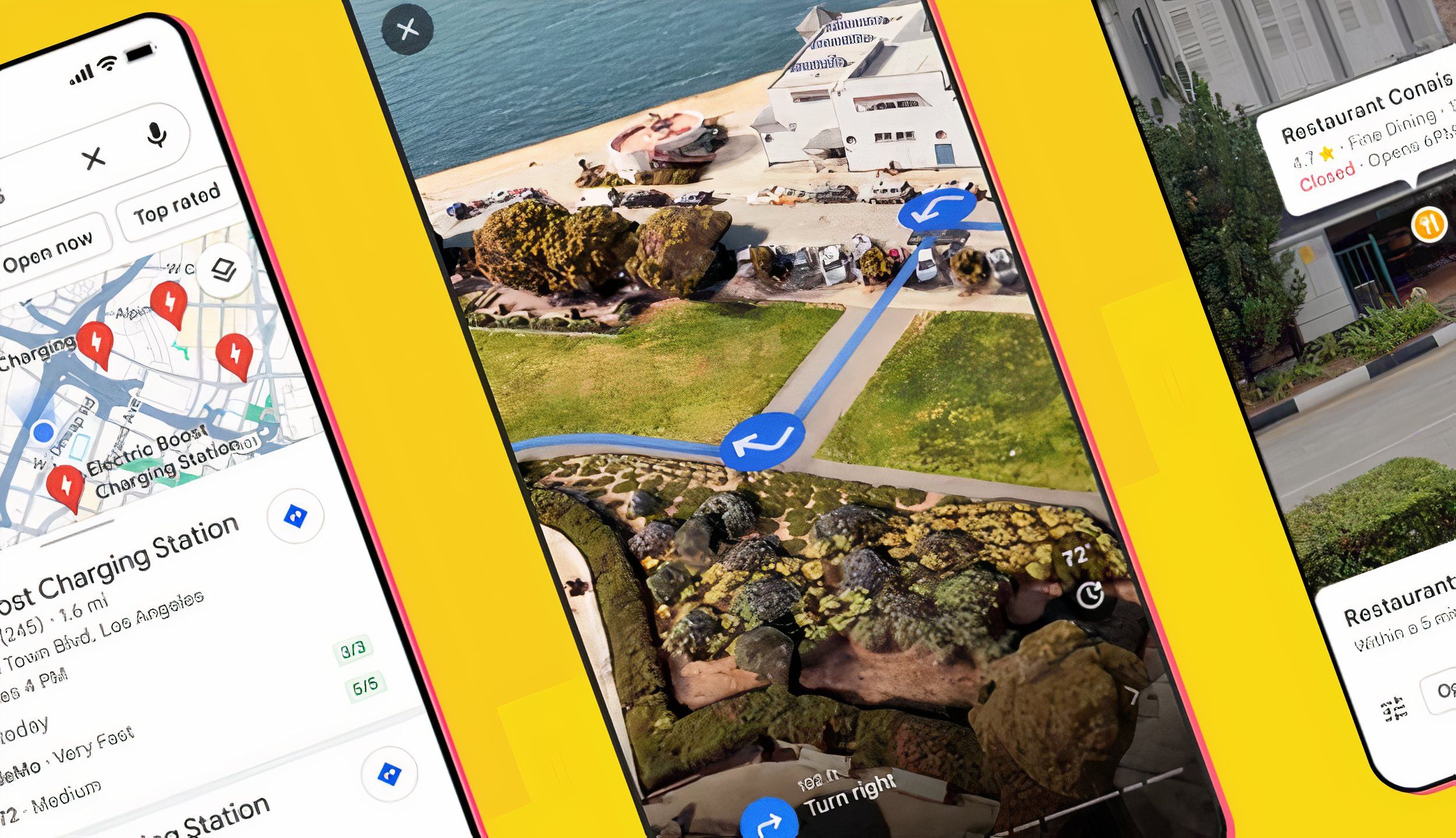
6 AI features in Google Maps I’m currently obsessed with
Now, Google Maps feels like Google Search — and that’s a game-changer.
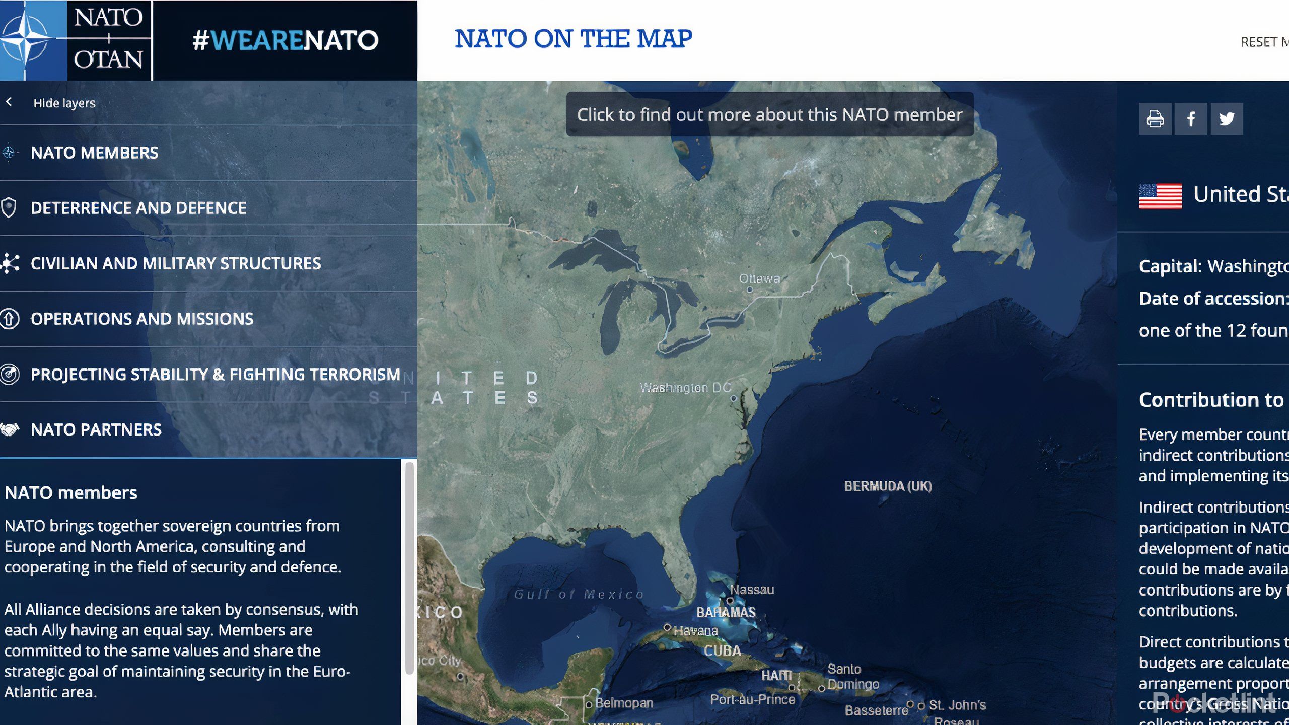
6 NATO
Understanding more about geopolitics
Pocket-lint
NATO
Provides a free overview of geopolitical alliances and security details among member countries.
The North Atlantic Treaty Organization (NATO) is built with member countries across Europe and North America. The alliance works together to improve security and defense for its members. The United States was one of the 12 founding members of NATO back in 1949. This map will bring up each member and provide a list of facts about each country. This is meant to highlight the support that NATO uses.
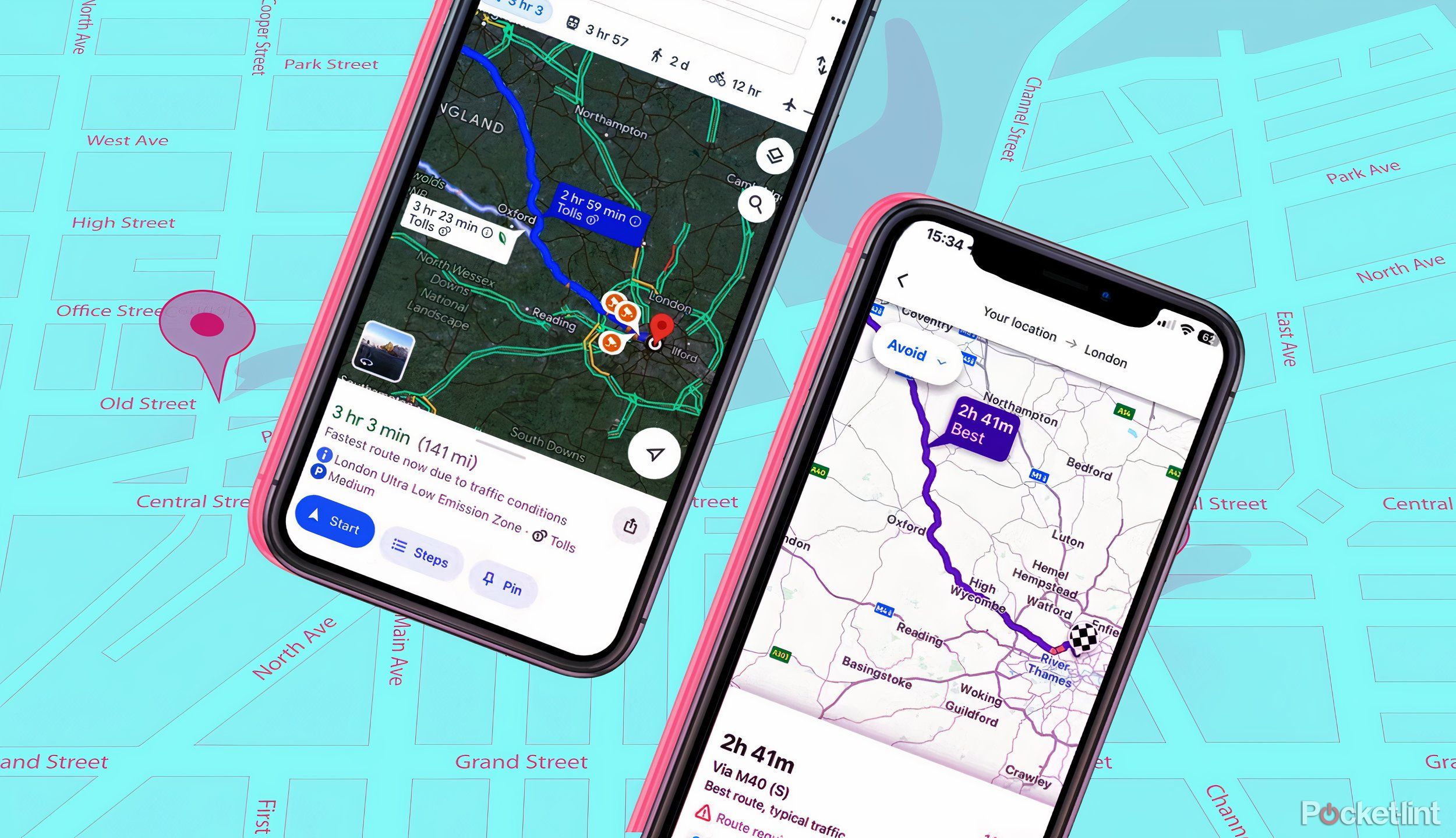
I tested Google Maps against Waze to see which is actually better
Google owns two navigation apps: Waze and Google Maps. I use Waze regularly, but I downloaded Google Maps to see how it compares.
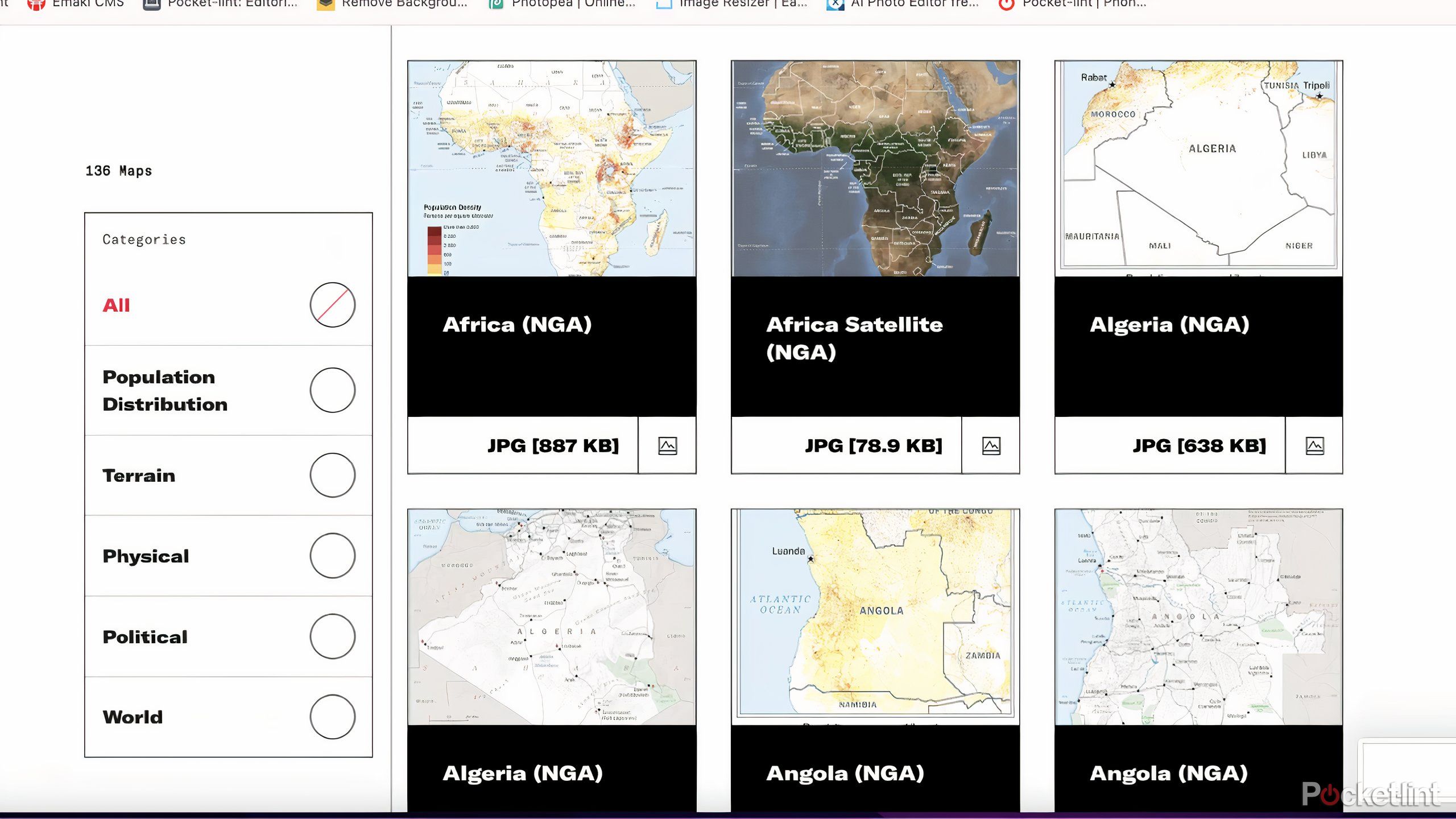
7 CIA World Factbook Maps
The intelligence agency is sharing its knowledge
Pocket-lint
CIA World Factbook Maps
Shares free, detailed maps on global politics, terrain, and populations, offering structured global intelligence.
The Central Intelligence Agency is sharing its intelligence with the rest of us in the form of factbook maps. These can be downloaded and categorized in different topics, such as the terrain of each country, the political allegiances, population distribution, and the physical layout and terrain. While these aren’t interactive like some others, they provide up-to-date information.

10 hidden Google Maps features, tips, and tricks to try
We’ve all used Google Maps to get from A to B, but did you know it has an AR view? We’ve rounded up secret Google Maps features you might not know.
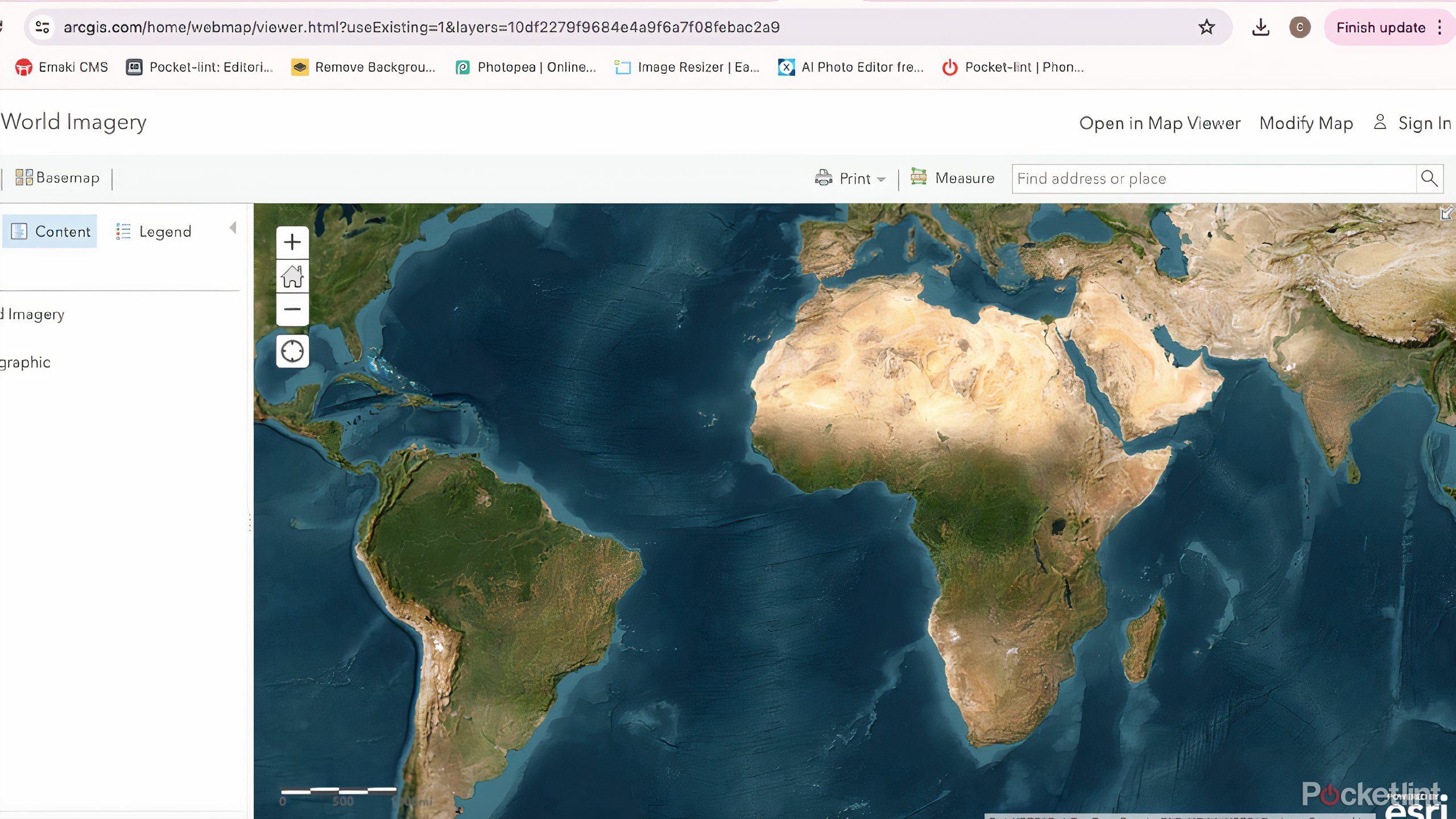
8 ArcGIS World Imagery
Layer upon layer of the world
Pocket-lint
ArcGIS World Imagery
Enables free, high-resolution exploration of the globe, with zoom capabilities down to three centimeters.
The ArcGIS interactive world map is a world imagery layer that is incredibly accurate and remains up-to-date. This allows you to zoom around the world and zoom in very closely, up to three centimeters to understand the land. This has been stitched together from images uploaded by contributors. You can choose between low resolution and high resolution images as you search for a location.
0:55
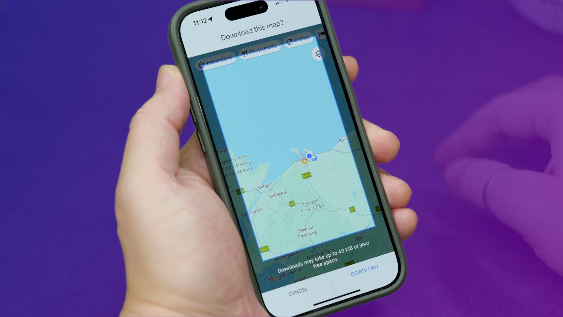
How to download Google Maps directions for offline use
If you’ll need some navigation, but know that you won’t have internet access, then downloading some maps is an essential pre-trip activity.
9 Esri Landsat Explorer
One of the most unique maps
Pocket-lint
Esri Landsat Explorer
Uses 50 years of data for free, detailed environmental mapping with customizable overlays like temperature or agriculture.
The Esri Landsat Explorer is built on a database that has been collecting data for over 50 years. It provides you with in-depth knowledge of locations that you may be looking at, giving you facts about interesting places and the option to turn the map different colors based on things like surface temperature, agriculture and more. With the Dynamic View, you are able to get the most recent and cloud-free images of a location. To pick what a location looked like on a specific day, you can choose the Find A Scene feature.
1:00
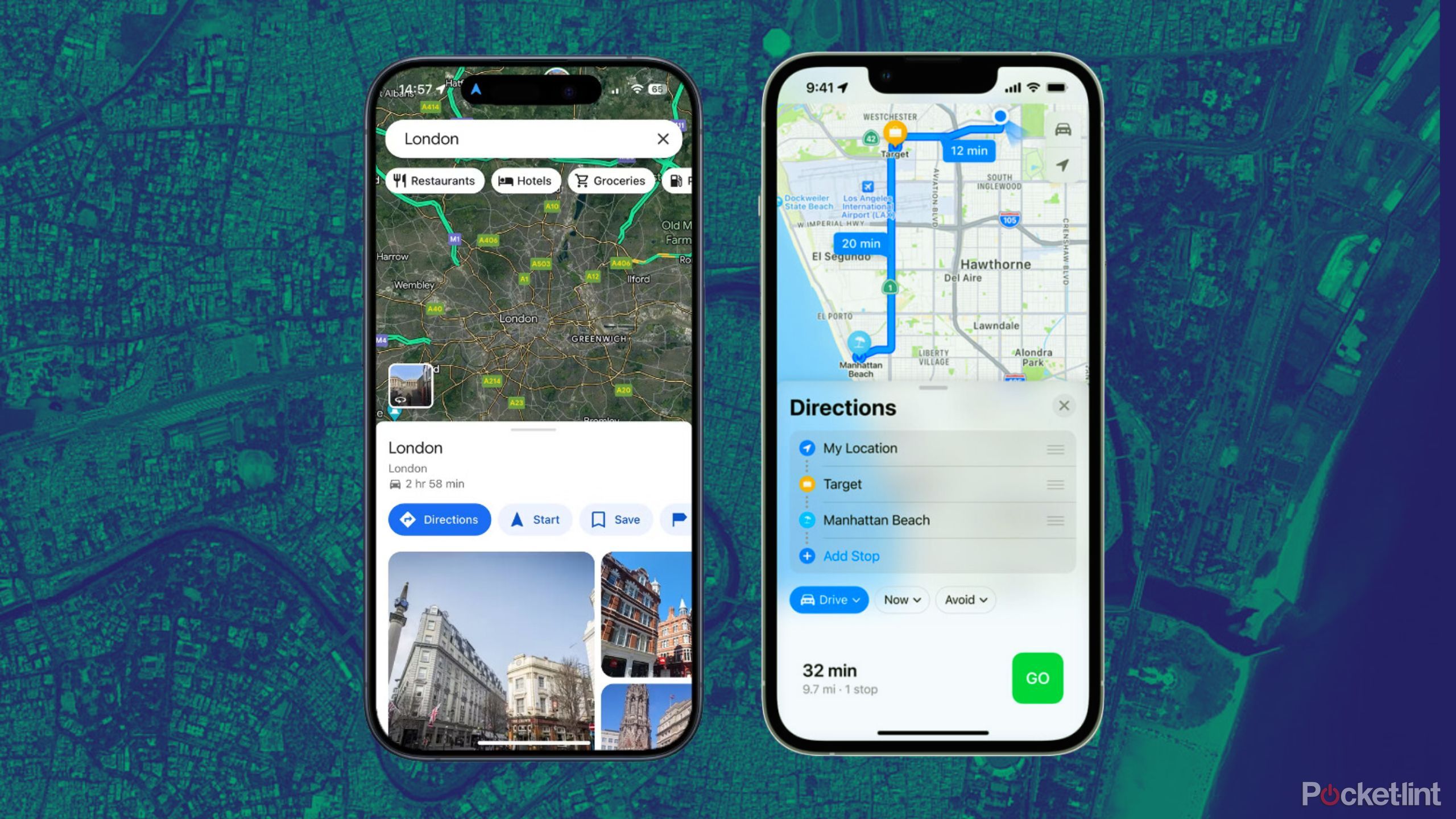
I tested Google Maps against Apple Maps to see which is actually better
Both Google Maps and Apple Maps have their ups and downs, but there are some things each does better than the other. We break it down.
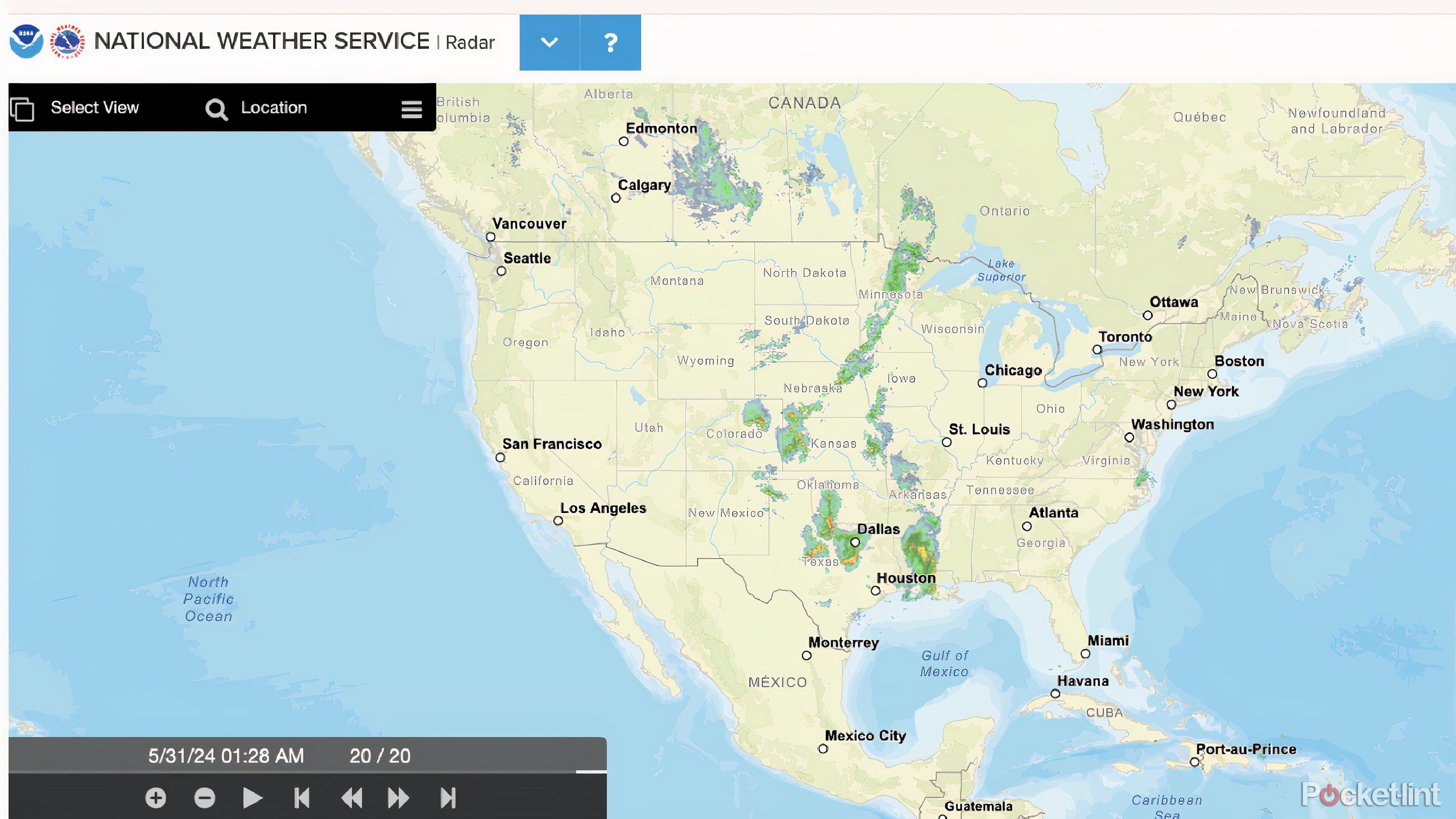
10 National Weather Service Radar
Know what the weather is like wherever you’re looking
Pocket-lint
National Weather Service Radar
Gives free access to real-time and historical weather conditions, focusing more on meteorological data than Google Earth.
Stay up to date on all that’s going on with the weather through the National Weather Service Radar. This allows you to search a location and see what the weather is currently doing, has done in the past, or what it might do in the future. You can choose local radar, national radar, or weather for a specific location to better filter your data needs. The maps also show where Air Route Traffic Control Centers, County Warning Areas, and River Forecast Centers are.
Trending Products

Cooler Master MasterBox Q300L Micro-ATX Tower with Magnetic Design Dust Filter, Transparent Acrylic Side Panel…

ASUS TUF Gaming GT301 ZAKU II Edition ATX mid-Tower Compact case with Tempered Glass Side Panel, Honeycomb Front Panel…

ASUS TUF Gaming GT501 Mid-Tower Computer Case for up to EATX Motherboards with USB 3.0 Front Panel Cases GT501/GRY/WITH…

be quiet! Pure Base 500DX Black, Mid Tower ATX case, ARGB, 3 pre-installed Pure Wings 2, BGW37, tempered glass window

ASUS ROG Strix Helios GX601 White Edition RGB Mid-Tower Computer Case for ATX/EATX Motherboards with tempered glass…


